
Day 3 – Navigating To St. Ives
N50° 12' 48.6462" W5° 29' 35.5842"
I am starting to sense a theme for this trip. And that would be “failure to navigate.” Having struggled for the last two days with where the GPS was guiding me, I’ve come to a couple of conclusions. Firstly, what the computer thinks the route should be when I program it is not the route that the GPS calculates when it gets it into its scheming clutches. Secondly, no matter what route I’ve chosen for its scenic qualities, the GPS always thinks it has a better way. Thirdly, I’m pretty convinced it’s trying to drive me mad.
Today started off promisingly. I discovered a navigation mode that only lets the GPS reprogram the route when I tell it to (giving me a fleeting and entirely misguided delusion of control). We started off with a theoretical tour of the highlights of Bath, which turned into nothing quite so much as yet another circuit of yet another British city centre. A very nice city centre, mind, but not quite the sights that we were hoping for.
After a couple of wrong turns, we find ourselves back out into the countryside, however (it is astonishing how quickly cities stop and fields start in this country). Narrow, twisting lanes lined with hedgerows beckoned. The implied line of the route led us in largely the direction we wanted to go (lulling me into a false sense of security that our navigational hiccups might be resolved). Traffic disappeared, and we were able to relax and enjoy the ride.
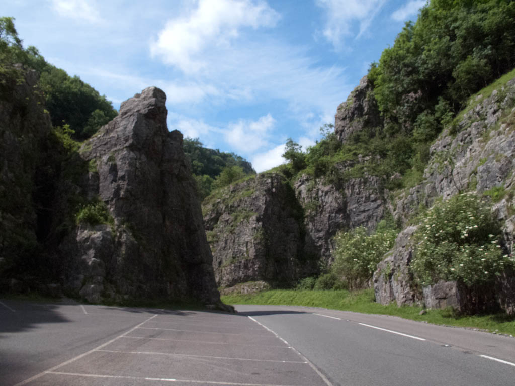
The Cheddar Gorge. Impressive. Impressively touristy.
I had set as part of the route a run through Cheddar Gorge (yes, that cheddar). On the map, it looked exactly like the road a motorcycle trip should involve. Lots of twists and turns, with the promise of some nice scenery to boot. What you see in two dimensions on a map, mind you, can’t let you fully appreciate what you will see in real life. The gorge is an epic canyon, surrounded by soaring cliffs on all sides, and is absolutely stunning to see. It’s also rather popular with the tourists, who arrive there by the bus load.
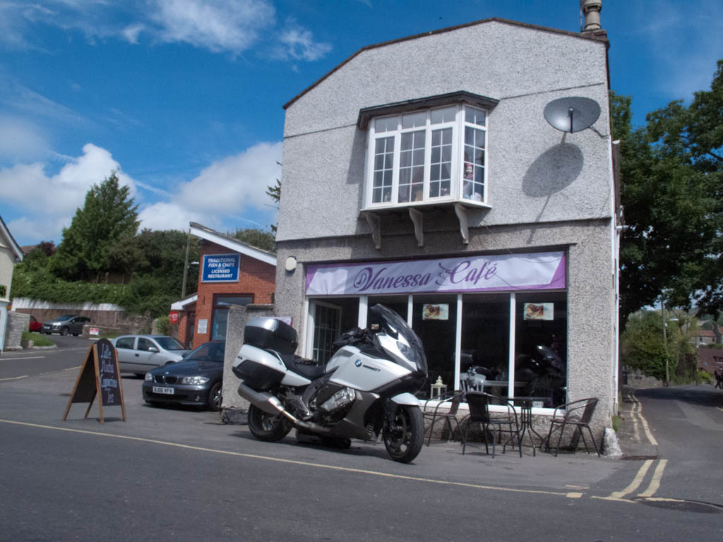
Our stop for a morning coffee. Slightly further off the beaten track.
Our way through the gorge was only slowed down somewhat by a rather stubborn VW Golf, but we spat out the other side into a tourist mecca. Shops, restaurants and buses lined the street. We carried on, and found a quiet tea shop in Cheddar proper for a morning break. Sufficiently fortified, we set out to navigate our way around Bristol.
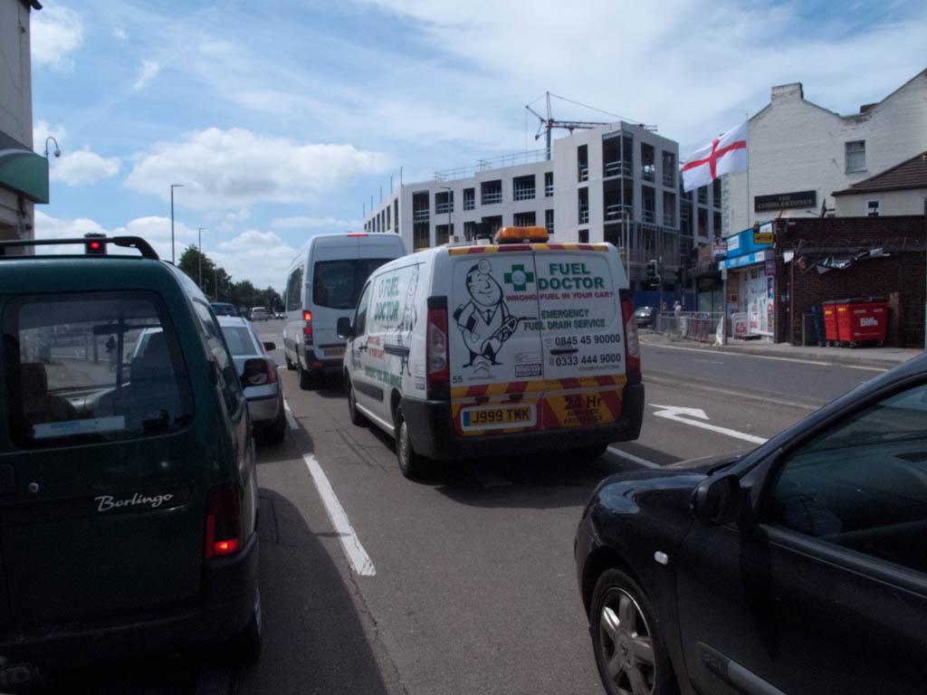
I’m not the only one to have this problem, then.
Britain is a very small place, with a very large number of people. Fortunately, they all tend to cluster themselves around major centres, leaving much of the rest of the country pretty empty. Unfortunately, they also tend to cluster all of their cars around major centres, and that makes them pretty much unnavigable.
By design, we had two major centres to get around today. The first was Bristol, whose burbs are impressively large. Given that the only way out is through, there is no real way to make the ride interesting. You just need to keep going, as efficiently as possible, until you spit out the other side. It’s a morass of street lights, traffic circles, traffic and minor industrial areas.
Once through, though, and the countryside is glorious. Fields, interesting houses, livestock and the odd pub and church (in roughly equal numbers) line the way. We’re heading to St. Ives in Cornwall, near the the very western edge of the UK. Along the north coast runs the A39 (mostly), which is the main highway (if you can use such a term). It’s got a 60mph speed limit, but it’s one lane wide (and sometimes it’s not even that). Anyone going west is on it, including trucks, repair vans, cars and meandering tourists. And us.
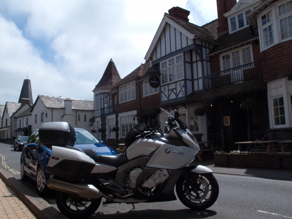
Our stop for lunch. A lovely roadside pub.
When we left Bristol behind, the GPS kept wanting me to go south. I eventually decided to ignore it, and just carry on along the A39. Easy enough to follow the signs. And so we did, over hill and over dale. Quite literally. Our first exposure to hill was a 24% grade (so, up 1 foot for every 4 feet you travel). It felt steeper. Downshift into first, pin it, and keep climbing (particularly interesting when the road hairpins up, while maintaining the same grade). The bike literally felt like it was scaling the mountain.

Along the top are cattle grids, cattle, lookout points and a whole lot of sheep. In all of that, it feels a lot like Wales. But for every up, there must be a down. It didn’t feel quite as steep, but it was certainly there. We did this once more (unfortunately, with a van nearly stalling out right in front of me—I kept willing it to keep moving, so that I could keep moving as well. A hill start on a 20% grade is decidedly in the “advanced motorcycling” category). We did, made it to the top, and eventually managed to pass him.
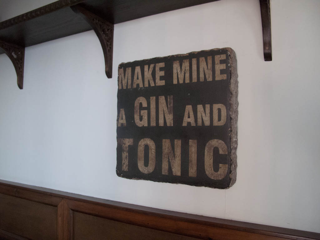
G&T? Don’t mind if I do.
From there, it was only countryside (with a brief circumnavigation of Devon, and a stop for fuel). The only challenge was after we passed Tintagel. The A39 is the road that heads west, and my strategy was to follow it until we nearly ran out of land. Unbeknownst to me, however, there was a time when the GPS was actually right (I know, I know). So we zigged when we should have zagged, and wound up in Truro. Truro is much nearer the south coast. In fact, we’ll be passing through it again tomorrow.
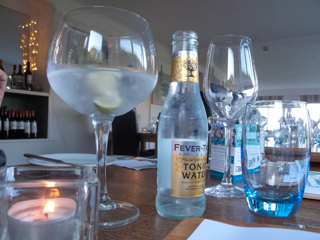
Hendricks & Fever Tree, if you must know.
Our stop tonight is The Garrack in St. Ives. It’s got a gorgeous view of the Cornish cost. Even better, the restaurant is in the hotel, so we don’t have to go anywhere. Best of all, they have Hendricks. We’ll be using that for my G&T tonight, then.
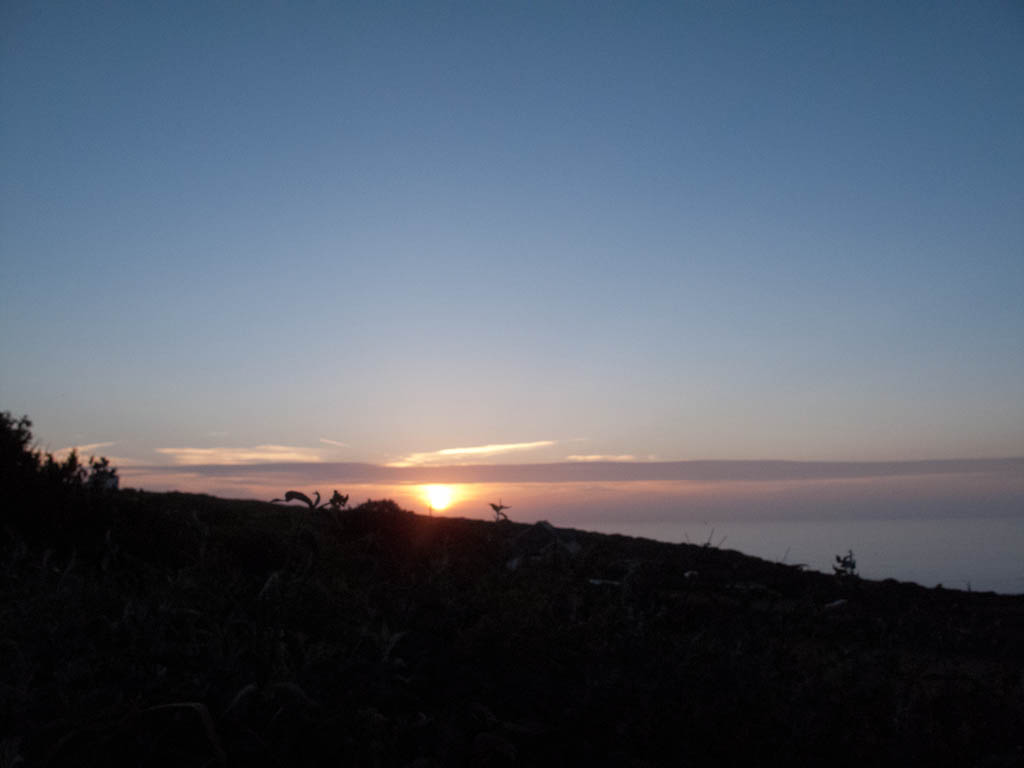
Sunset in St. Ives.